Salton Sea
California's largest lake sits about 30 miles east of Borrego Springs, at the bottom of a desert basin that has filled and dried many times over.
The Salton Sea
California's largest lake sits about 30 miles east of Borrego Springs, at the bottom of a desert basin that has filled and dried many times over. Its story runs from an ancient inland lake to a 1905 engineering accident, a mid-century resort boom, and the restoration and energy work happening on its shores today.
How the Sea Was Made
Lake Cahuilla
For thousands of years the Colorado River shifted course across its delta, at times pouring north into the Salton Sink and filling it with a freshwater lake far larger than today's sea. Cahuilla and other Native peoples lived, fished and traded along its shores. When the river swung back toward the Gulf, the lake evaporated. The last of these lakes dried a few hundred years ago, leaving the pale bathtub ring of old shorelines that is still visible on the hillsides along the Borrego Salton Seaway.
An Accident on the Colorado
Engineers cut a channel to divert Colorado River water into the Imperial Valley for irrigation. In 1905 the river broke through the works and ran unchecked into the Salton Sink for about 18 months. By the time crews finally closed the breach in 1907, a lake roughly 400 square miles in size had formed. What began as a mistake became a permanent feature of the map.
A Refuge for Birds
The new lake quickly became one of the most important bird stops in the West. A federal wildlife refuge was set aside at the south end in 1930, later renamed the Sonny Bono Salton Sea National Wildlife Refuge. More than 400 species have been recorded here, and in some seasons the sea holds a large share of the shorebirds and waterfowl using the Pacific Flyway.
The Resort Years
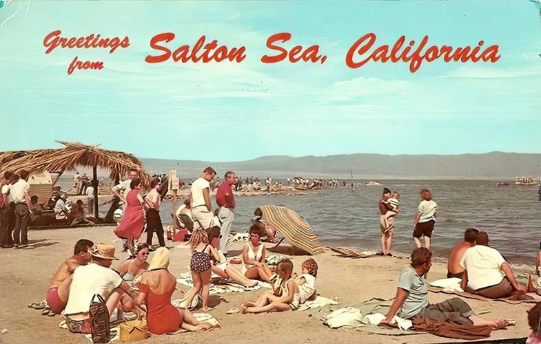
Warm water, wide beaches and easy access from Los Angeles and San Diego made the sea a destination. Salton City was laid out on the west shore in the late 1950s, joined by Salton Sea Beach and Desert Shores, all within a short drive of Borrego Springs. Yacht clubs, motels and marinas went up, speedboat racers set records on the flat water, and anglers came for corvina. For a stretch of years the sea drew more visitors than Yosemite.
Storms, Salt and Decline
The sea has no outlet. Water leaves only by evaporation, so the salts carried in by agricultural runoff stayed behind and built up year after year. Tropical storms in 1976 and 1977 flooded the shoreline resorts, and rising salinity and periodic fish and bird die-offs did the rest. Marinas emptied, businesses closed, and towns like Bombay Beach became known for what was left behind.
A Shrinking Sea and a Long Repair
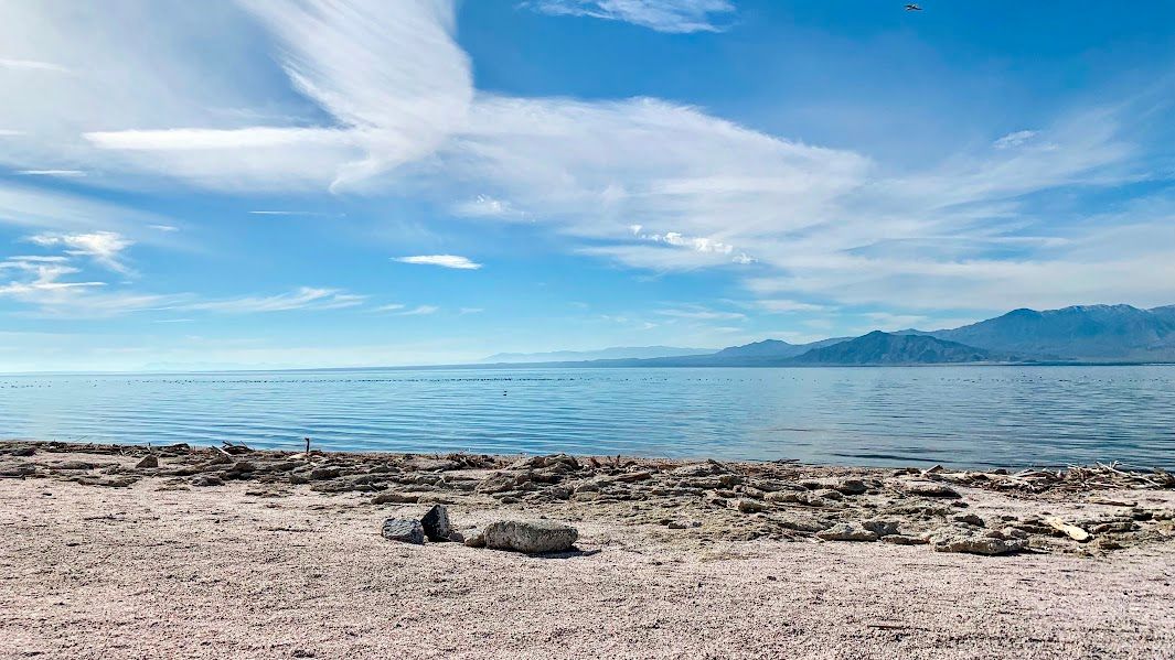
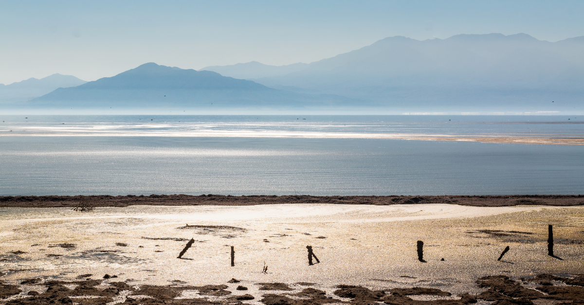
The sea now sits about 243 feet below sea level and continues to drop as less water reaches it. As the water pulls back it exposes playa, the old lakebed, which blows as dust into surrounding communities. California's Salton Sea Management Program is building ponds and wetlands along the south shore to hold water on the playa, control dust and create habitat, and a new state conservancy now oversees that work. At the same time, the geothermal field near Calipatria has drawn national attention as "Lithium Valley," where companies are working to pull battery-grade lithium from the hot brine already being pumped for electricity. Permitting, water supply and air quality questions are still being worked through.
Visiting from Borrego Springs
Head east from Christmas Circle on County Route S-22, the Borrego Salton Seaway. It is roughly 30 miles to the west shore at Salton City, about a 40 minute drive, dropping steadily from the Borrego Valley to below sea level. The route passes Font's Point Wash and the Borrego Badlands overlooks on the way out.
- Salton City, Salton Sea Beach and Desert Shores, the closest shoreline communities to Borrego Springs, with public access points and fuel.
- Salton Sea State Recreation Area on the northeast shore, for camping, birding and shoreline walks.
- Sonny Bono Salton Sea National Wildlife Refuge at the south end, best from late fall through early spring when bird numbers peak.
- Bombay Beach, an old resort town on the east shore now known for its art installations.
- Salvation Mountain and Slab City near Niland, a short drive past the south end.
Bring water, fuel up before you go, and plan visits for the cooler months. Summer temperatures at the sea regularly run above 110 degrees.
Birding the Sea
- Peak season runs November through March.
- Snow geese, sandhill cranes, white pelicans, burrowing owls and eared grebes are regular sightings.
- The south end refuge and the Wister Unit offer the most reliable viewing.
- Early morning gives the best light and the calmest water.
Good to Know
- The sea is saltier than the Pacific Ocean and getting saltier as it shrinks.
- Much of the shoreline is soft playa. Stay on established access points and watch for mud.
- Dust conditions vary with wind. Check air quality if you are sensitive.
- Cell service is spotty along the west shore and through the badlands.
Submit Content
We're always on the lookout for fresh perspectives and hidden gems in Borrego Springs. Share your ideas and suggestions with us.