

Jake Hinton • March 13, 2023
Camping Spots in Anza-Borrego Desert State Park
Share
Anza-Borrego Desert State Park: A Camper's Paradise
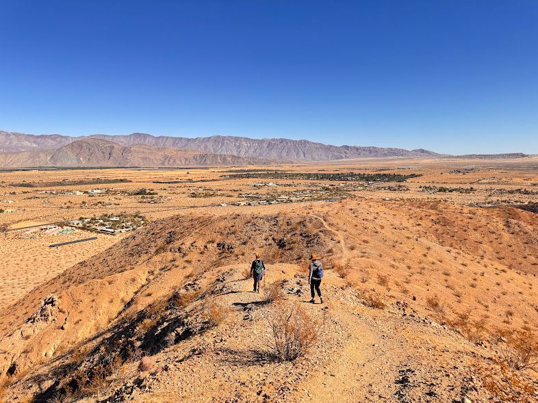
Anza-Borrego Desert State Park is a camper’s dream, offering a wide variety of camping experiences across its vast 600,000-acre landscape. Whether you prefer the comfort of developed campgrounds or the solitude of primitive camping, this park has something for everyone. From RV sites with full amenities to free, dispersed camping under the stars, campers can explore the desert while enjoying breathtaking views, wildlife, and stargazing opportunities.
With 12 unique campgrounds, plus the option for undeveloped camping, Anza-Borrego Desert State Park caters to all camping styles.
Most Popular Campgrounds: Anza Borrego State Park
- Borrego Palm Canyon: Offers 52 hookup sites (max RV length 35') and 65 non-hookup sites (max RV length 25'), along with 5 group sites for 9-24 people. Facilities include water, flush toilets, showers, and fire rings. Located 2.5 miles west of Borrego Springs, near the Visitor Center. Borrego Palm Canyon Campground Map PDF
- Vernon Whitaker Horse Camp: Exclusively for campers with horses, offering 10 sites with amenities like corrals, water, solar-heated showers, and fire rings. Situated 8 miles north of Borrego Springs. Google Map
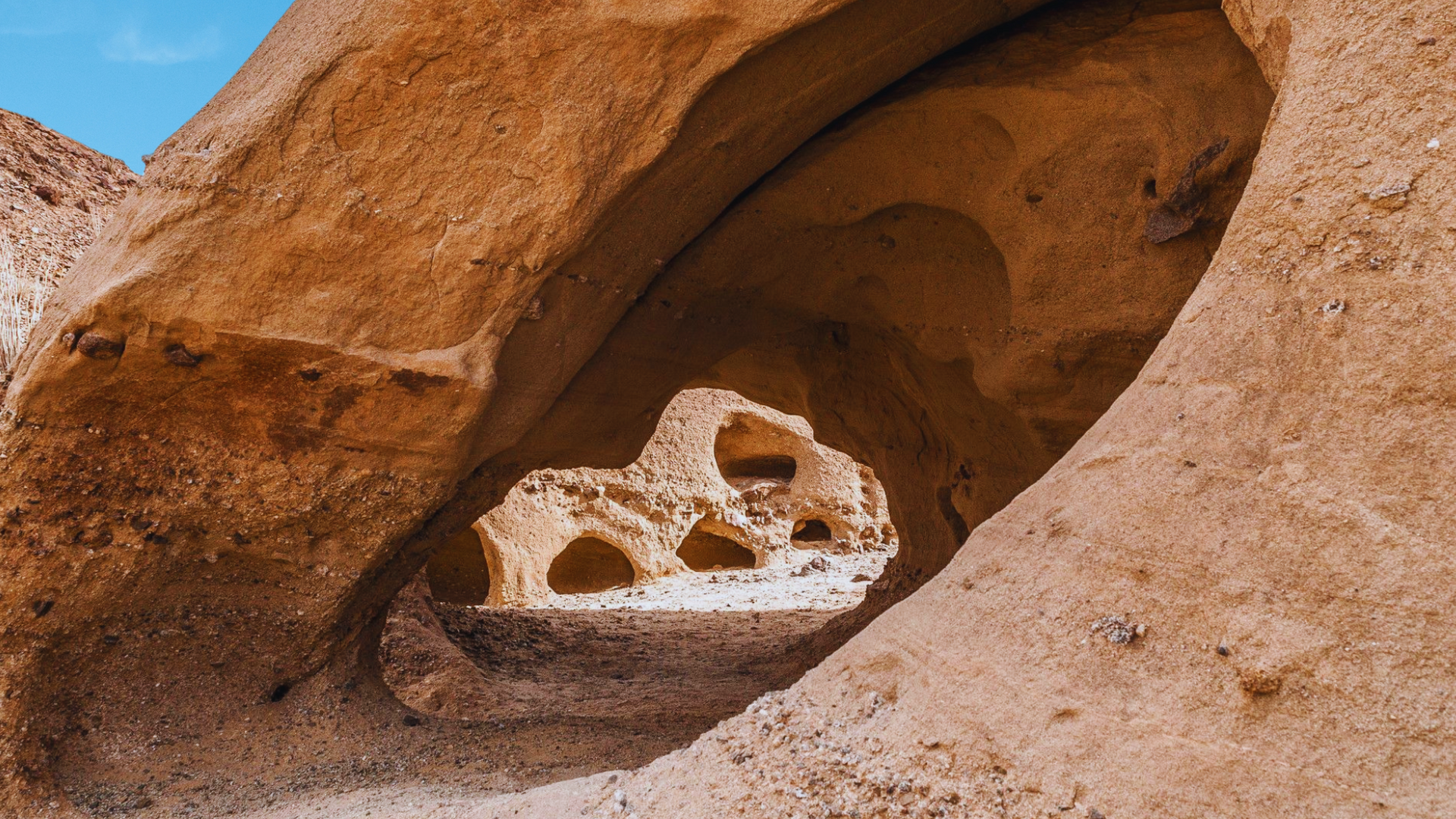
- Bow Willow: Features 16 primitive sites with chemical toilets, fire rings, and picnic tables. Google Map
- Tamarisk Grove: Hosts 27 RV sites with facilities like water, flush toilets, showers, and fire rings. Located at the junction of California Route 78 and County Road S-3. Tamarisk Grove Campground Map PDF - Google Map
- Yaqui Well: Offers 10 numbered sites with pit toilets, located near Tamarisk Grove. Additional unnumbered sites are also available. Google Map
- Sheep Canyon: A secluded option with a few sites featuring pit toilets and picnic tables. Google Map
- Mt. Springs Canyon: Hosts a few sites with chemical toilets, located in the Bow Willow Region. Google Map
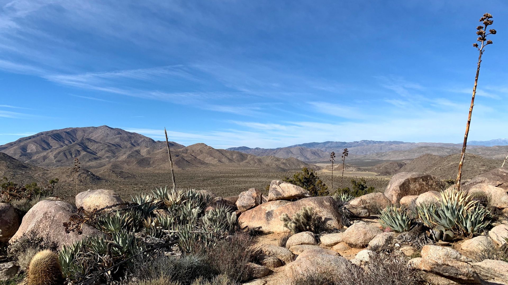
- Culp Valley: Offers open sites near the west park entrance on Road S-22. Google Map
- Arroyo Salado: Features a few open sites in the Borrego Badlands region. Google Map
- Yaqui Pass: Provides open sites near Cactus Loop and Kenyon Overlook trails in the Tamarisk region. Google Map
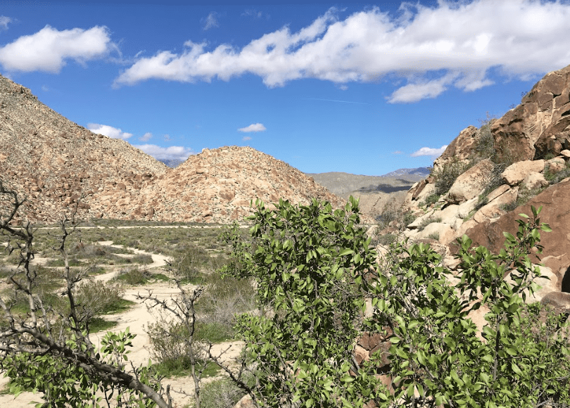
- Fish Creek: Offers open primitive camping sites in the Fish Creek region. Google Map
- Blair Valley: Numerous open sites available near Marshal South Home, Morteros, and Pictographs Trails, located off County Road S-3 south of California 78.
Google Map
Anza Borrego State Park Camping Videos
Sheep Canyon Campground
Sheep Canyon offers a secluded camping experience with exceptional hiking opportunities. Basic amenities like outhouses and fire rings are available. Remember to bring drinking water, as it's not available onsite.
Yaqui Well Campground: A Desert Oasis
Yaqui Well Campground offers a unique blend of desert flora and proximity to town, perfect for those seeking solitude without straying too far from civilization. It's ideal for tent and car camping, with a vault toilet for basic needs.
Arroyo Salado Campground: A Stargazer's Delight
Arroyo Salado is ideal for stargazing enthusiasts. This free, primitive campground offers basic amenities like fire rings and vault toilets. High-clearance vehicles are recommended due to rough road conditions.
Learn More