

Jake Hinton • January 28, 2023
Navigating Anza Borrego State Park with Gaia GPS
Share
What is the Gaia GPS app, and how does it work without cell service?
Explore the vast Anza-Borrego State Park without relying on cell service using Gaia GPS. Learn how this app uses satellite technology for off-grid navigation, helping you discover the best hiking trails, including the popular Ocotillo Wells.
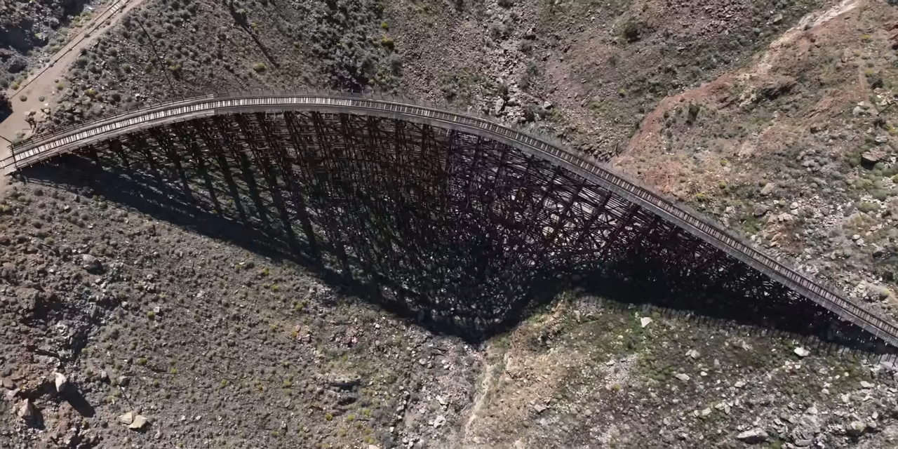
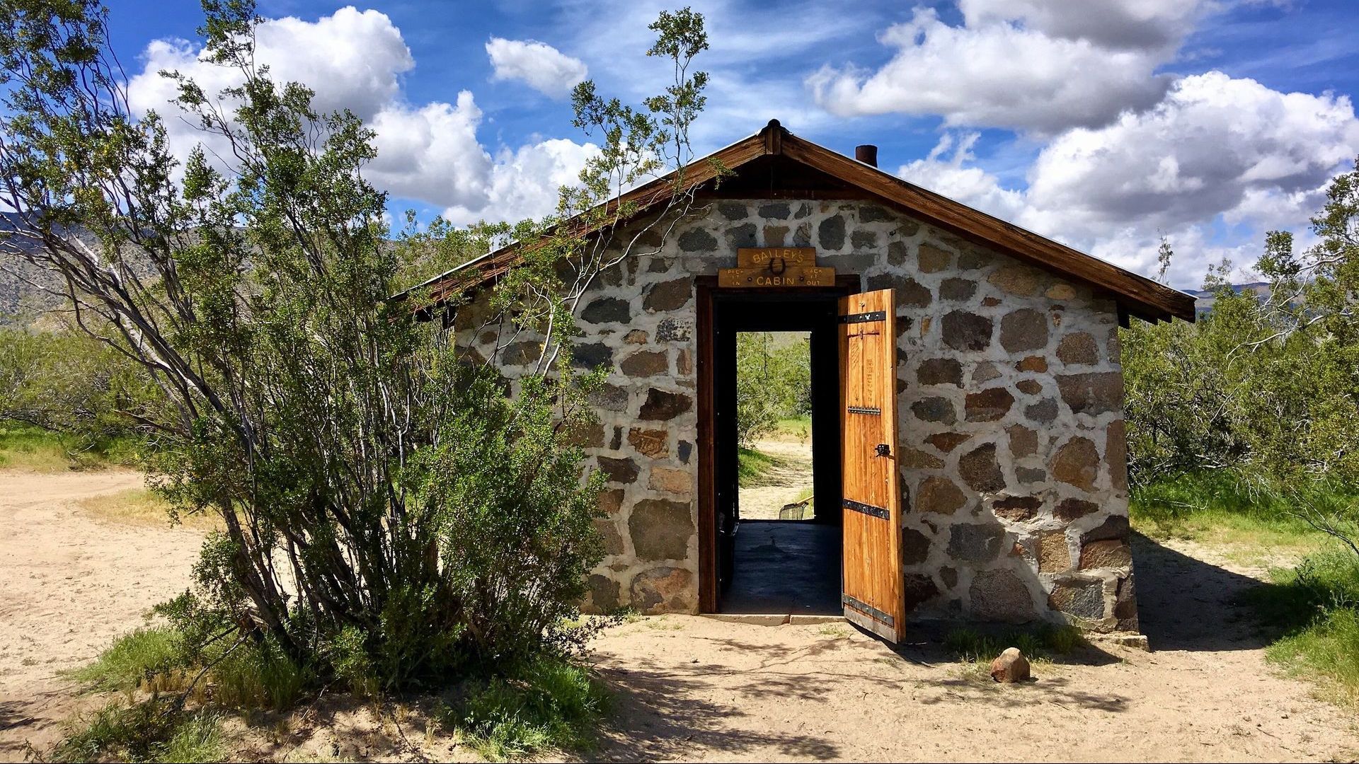
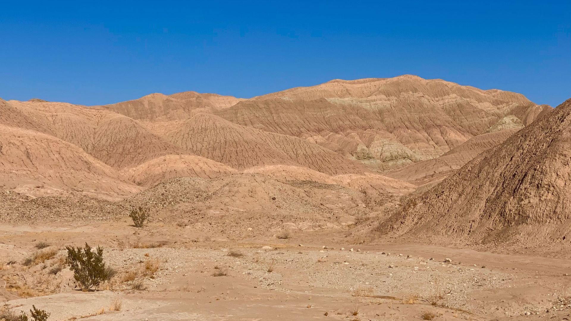
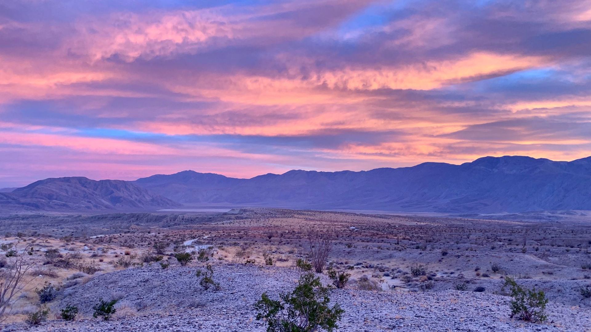
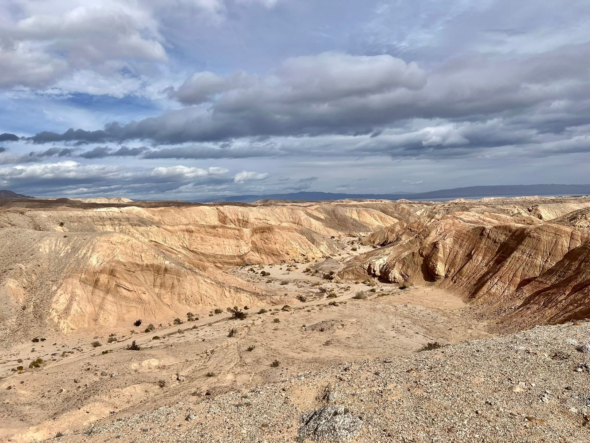
Anza-Borrego State Park is a hiker’s paradise, offering miles of trails through rugged desert landscapes and stunning vistas. But cell service can be unreliable in the wilderness, which is where Gaia GPS comes in. This powerful app uses satellite technology to provide off-grid navigation, making it the perfect companion for your next Anza-Borrego adventure.
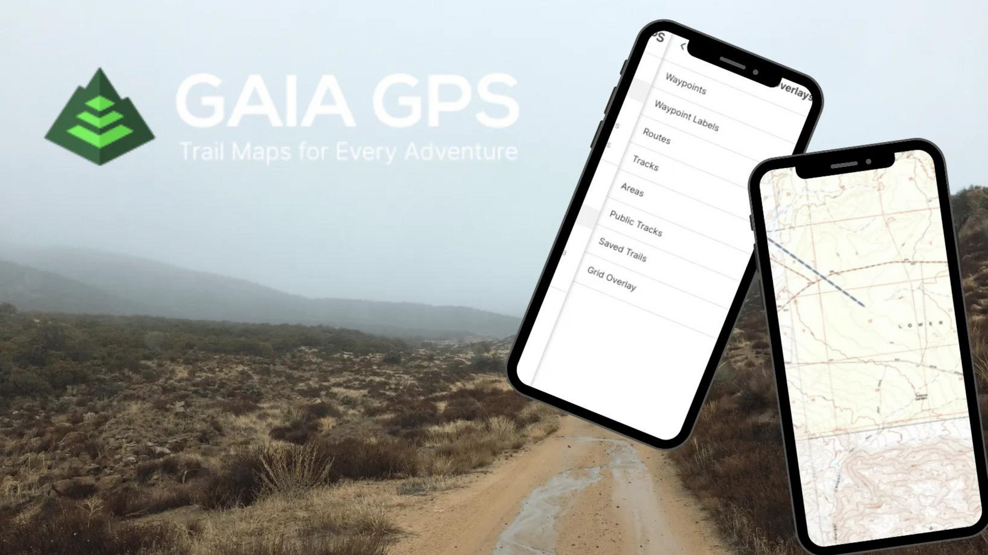
How Gaia GPS Works Without Cell Service
Gaia GPS uses a combination of GPS, GLONASS, and Galileo satellite systems to determine your location. Even without cell service, you can access maps and navigation features. By downloading maps in advance, you’ll be able to plan routes, mark waypoints, and track your progress offline, ensuring a smooth adventure with no need for internet connectivity.
Exploring Anza-Borrego State Park with Gaia GPS
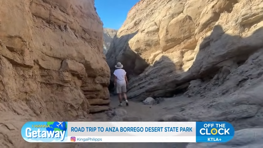
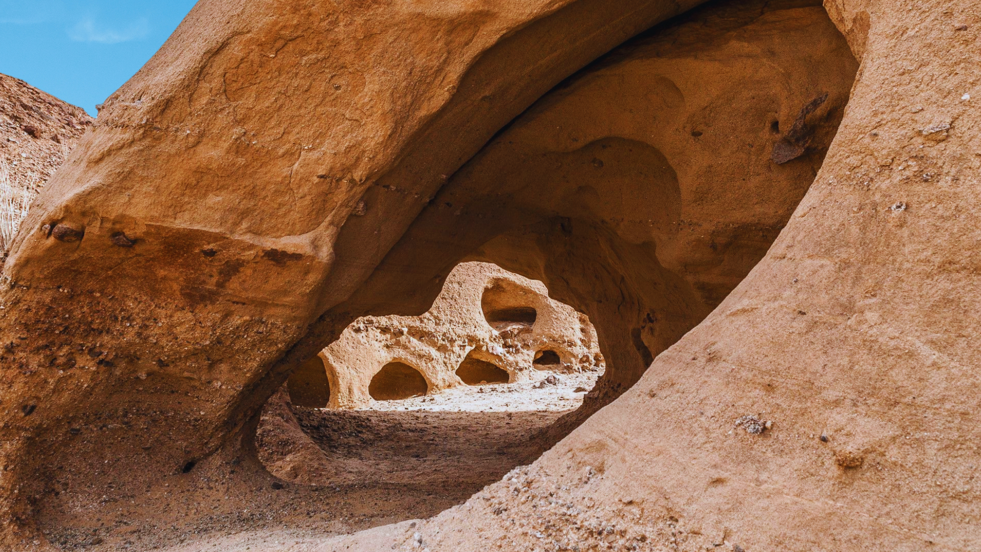
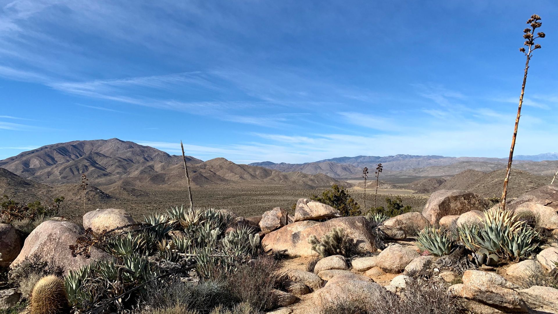
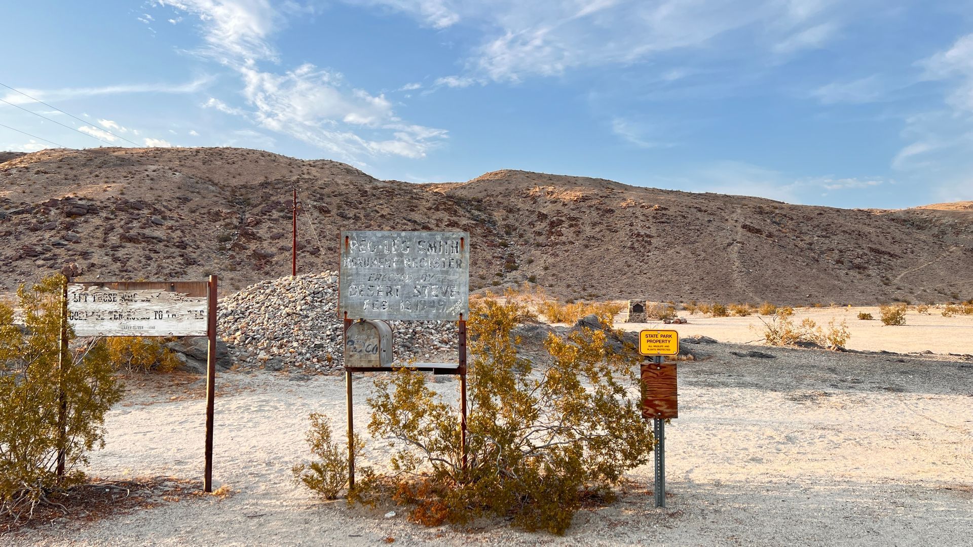
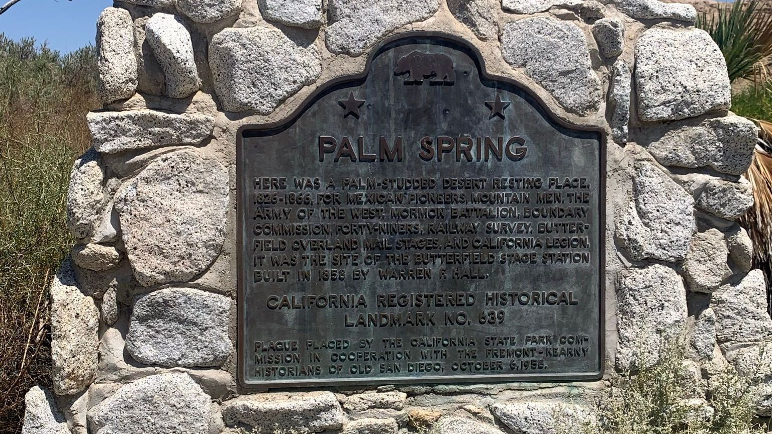
Anza-Borrego State Park offers miles of hiking trails, from easy nature walks to challenging backcountry routes. With Gaia GPS, you can easily find and follow trails while tracking your progress. The app’s map layers allow you to switch between topographic, satellite, and street views, providing comprehensive information about the area. Plus, you can use the tracking feature to record your hikes and share them with friends and family.
Navigating Ocotillo Wells with Gaia GPS
Ocotillo Wells, a popular destination in Anza-Borrego State Park, is known for off-roading trails and scenic views. With Gaia GPS, you can confidently explore off the beaten path. The app provides detailed area maps that include road types, obstacles, and other essential information, making it an ideal tool whether you’re hiking, biking, or off-roading.
Conclusion
Gaia GPS is a great tool for anyone exploring Anza-Borrego State Park. Its satellite technology ensures off-grid navigation, helping you find your way even in the most remote areas. With detailed maps, tracking features, and offline capabilities, Gaia GPS is the perfect companion for your next adventure, whether you're exploring Ocotillo Wells or trekking the park’s many trails.